Understanding the geographical position of Hong Kong is key for visitors and residents alike, especially in a city that is as dynamic and intricate as this. Whether planning a new adventure, finding the best travel routes or exploring significant landmarks, having a grasp of Hong Kong’s location and coordinates can help one navigate this bustling city efficiently.
Geographic Overview of Hong Kong
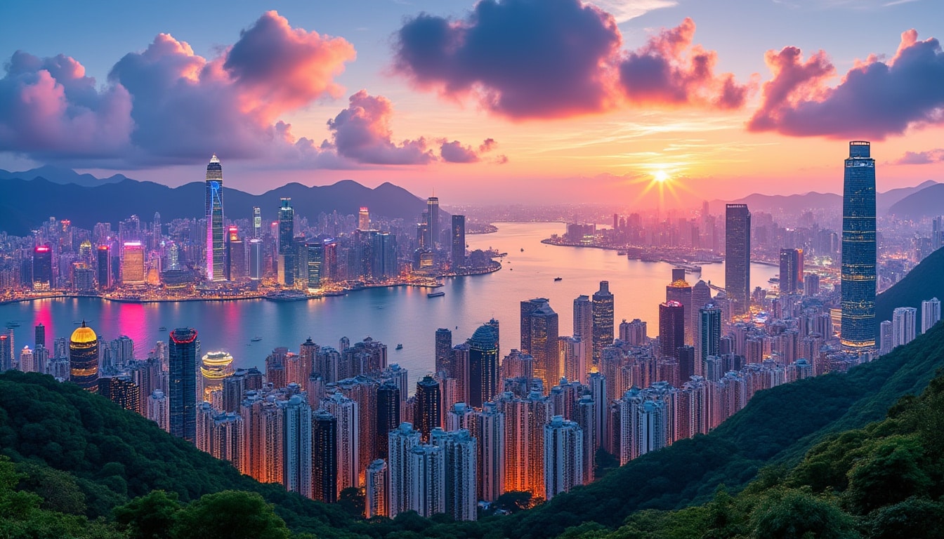
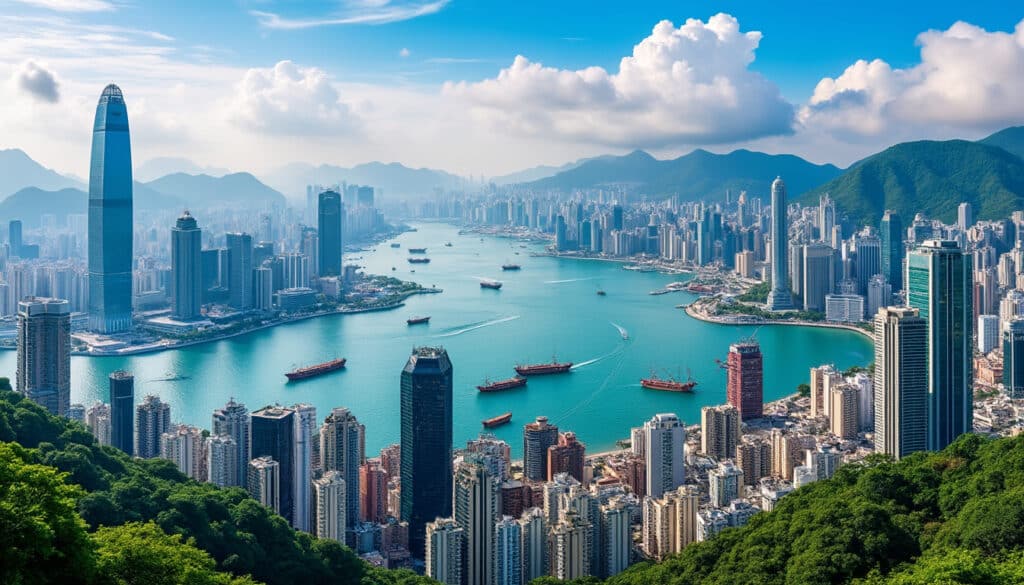
Hong Kong, officially the Hong Kong Special Administrative Region (HKSAR) of the People’s Republic of China, occupies a strategic location on the southern coast of China. This unique position is at the heart of one of the world’s most vibrant regions, Asia, and it sits at the mouth of the Pearl River Estuary and the South China Sea. The city is known for its towering skyline, bustling ports, and deep natural harbor.
The geographical coordinates of Hong Kong are 22.25000000 degrees north in latitude and 114.16666666 degrees east in longitude. These coordinates not only illustrate Hong Kong’s exact position on the globe but also provide insights into its climatic conditions and historical significance within East Asia. Situated approximately 60 kilometers east of Macau and linked to the Guangdong Province of Mainland China by its northern border, Hong Kong spans an area of 1,104 square kilometers.
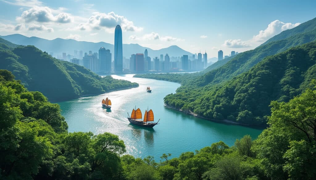
While Hong Kong’s geographical location provides significant economic and cultural benefits, it also presents unique challenges, particularly in terms of urban planning and sustainability. The region’s complex topography, including its mountainous terrain and numerous outlying islands, is reflected in population distribution and development patterns.
The city itself is segmented into three primary regions: Hong Kong Island, Kowloon, and the New Territories. Each area offers its distinctive character, with Hong Kong Island being the financial hub, Kowloon as the cultural center, and the New Territories encompassing expansive rural areas and nature reserves. These divisions underscore the diversity and complexity found within Hong Kong’s compact geographical space.

Hong Kong’s integration into global systems is further enhanced by its robust transportation networks. From iconic Star Ferries that link Victoria Harbour to advanced subway systems reaching Tsim Sha Tsui, understanding the layout of Hong Kong is essential for effective navigation. Tools like Google Maps and Waze are vital for both tourists and locals, offering real-time updates and route planning to navigate the complex yet efficient transportation network.
For understanding and navigating these areas, the use of modern GPS and mapping technologies like Garmin and Uber aids in pinpoint transformational changes within the city’s metropolitain landscape. Tourists frequently rely on Viator and TripAdvisor to plan their itineraries, ensuring they experience the most of what Hong Kong has to offer.
The Role of Latitude and Longitude
Latitude and longitude are pivotal in defining the location of any place on Earth, using a coordinate system to specify the position accurately. For Hong Kong, these coordinates (22° 15′ N, 114° 9′ 60″ E) are critical in navigation, mapping, and understanding its climatic patterns. The latitude indicates Hong Kong’s position north of the equator, placing it firmly within the northern hemisphere and contributing to its humid subtropical climate characterized by hot, humid summers and mild winters.
Longitude represents the distance east of the prime meridian, which passes through Greenwich, England. Hong Kong’s eastward position makes it part of the UTC+08:00 timezone, playing a pivotal role in scheduling and international business operations. With an economy as globally intertwined as Hong Kong’s, understanding its time-related logistics can enhance both local business functions and international relations.
The precise geographical positioning of Hong Kong plays into its maritime activities, influencing trade routes and economic planning. Logistics and shipping companies such as Foursquare and logistics planners within the city use these coordinates for more effective route planning and to enhance logistics efficiency, especially given Hong Kong’s role as one of the busiest container ports worldwide.
- 🚢 Hong Kong’s port is one of the busiest in the world, leveraging its strategic geographic location.
- 📡 Modern mapping tools, such as Google Maps, are crucial for exploring Hong Kong efficiently.
- 🗺️ The coordinates: 22.25000000° N, 114.16666666° E are invaluable for precise navigation.
- 🌎 Hong Kong’s position within the GMT+8 time zone facilitates international business operations.
These coordinates also play a significant role in emergency services, travel arrangements, and even disaster response protocols. The integration of these geographical co-ordinates with platforms like Airbnb and TripAdvisor are pivotal for tourists in selecting locations and accommodation sites that best suit their travel needs.
The Impact of Hong Kong’s Location on Climate and Economy
The latitude and longitude of Hong Kong not only guide latitude-based technologies but also significantly impact the region’s climate and economic activities. Hong Kong lies just south of the Tropic of Cancer, making its climate subtropical with distinct seasonal variations. The city experiences humid summers and mild, dry winters, which affect its living conditions and tourist seasons.
The proximity to water bodies like the South China Sea defines its maritime climate and influences seasonal rainfall patterns. Monsoon winds affect the humidity and precipitation levels, impacting everything from tourism to daily life and agriculture in the New Territories. This climate has affected how the region’s infrastructure is developed, influencing building designs to optimize ventilation and reduce heat.
Economically, Hong Kong’s geographical position positions it as a bridge between Mainland China and the world. As a major global financial hub, it attracts businesses and investments that thrive on its strategic location. This position also affects the inflow of tourists and expatriates who contribute to its vibrant culture and economy.
For those interested in the finer details of Hong Kong’s climate and geography, resources such as maps and satellite imaging available on Bing Maps and Google Maps provide a comprehensive view of weather patterns, terrain, and urban planning. Discover more about the geographical features and climate of Hong Kong here.
| 🌍 Aspect | Impact on Hong Kong |
|---|---|
| 🌡️ Climate | Subtropical with varying humidity levels throughout the year. |
| 🛳️ Economic Position | Key financial center with influence in global trade and finance. |
| 🌿 Environment | Impact on agriculture and living conditions due to monsoon rains. |
Mapping Hong Kong: Navigational Tools and Preferences
In a city as intricate as Hong Kong, having the right navigational tools is imperative. Whether utilizing GPS technology for exploring the city or seeking the best routes via public transport, modern mapping applications provide invaluable support for tourists and locals alike. As technology advances, understanding and utilizing these tools effectively enhances both daily life and travel experiences.
Tools such as Google Maps, Waze, and Garmin have transformed how individuals explore cities, offering real-time data, route optimization, and traffic updates. These tools are not only essential for navigating the bustling streets of Kowloon but also for exploring Hong Kong Island’s urban landscapes and the serene beauty of the New Territories.
Using GPS coordinates, along with advanced mapping services, enhances the travel experience, providing precise instructions and alternatives to avoid congestion during peak hours. For travelers, Airbnb offers a variety of accommodation options and geographical location awareness, making stay arrangements convenient and efficient.
- 🛣️ Waze: Popular among daily commuters for real-time traffic updates.
- 📍 Garmin: Preferred by enthusiasts for walking and hiking trails across Lantau Island.
- 🏨 Airbnb: Great resource for accommodation options near central travel hubs.
- 🌐 TripAdvisor: Provides comprehensive guide reviews for seamless travel planning.
For those who prefer more structured planning, applications like Viator offer organized tours and experiences that allow deeper exploration of Hong Kong’s vibrant culture. These tools, leveraging the understanding of Hong Kong’s unique geographical layout, provide users with insights and connections beyond the guides, enriching the Hong Kong experience.
Technological Advancements and Location Data
As technology continues to integrate into daily life, the relevance and importance of location data have never been clearer. In Hong Kong, advanced geolocation systems are indispensable, providing detailed insights into user behavior, movement patterns, and preferences which enhance user experiences across platforms such as Uber and Foursquare.
Information gathered through precise coordinates helps businesses refine customer interactions and services. For instance, ride-sharing platforms like Uber rely on accurate location details to enhance ride matching and improve efficiency, making city navigation more user-friendly and economical.
Geospatial data is fundamental to enhancing urban planning and sustainability. With the rapid advancement in geographic information systems (GIS), planners can anticipate traffic flows, plan infrastructure development, and predict any environmental impacts based on existing data enhanced by platforms such as Bing Maps. This not only aids in urban development but also informs policy strategies for future growth and sustainability in bustling cities like Hong Kong.
Understanding how this data intertwines with everyday life in Hong Kong offers insights into the city’s adaptability and growth potential. By utilizing these advanced technologies, both residents and visitors can benefit from improved services and a better understanding of this intriguing region.
Navigating Cultural and Geographical Landscape
Hong Kong’s dynamic geographical landscape is as varied as its cultural offerings. From the bustling shopping districts of Central to the tranquil trails of Lantau Island, the diversity of experiences available in this special administrative region can be explored effectively with a little guidance.
Culture and location are intertwined in Hong Kong, with districts like Kowloon offering not just a glimpse into the vibrant street life but also showcasing historic sites like the Kowloon Walled City Park. The geographical intricacies of Hong Kong, thanks in part to its hilly terrain and island geography, have influenced city life tremendously.
For tourists and locals alike, discovering Hong Kong’s cultural gems is greatly facilitated by communal transportation options and digital guides. Whether using public transit or exploring via personal methods, having an understanding of Hong Kong’s geographical markers and cultural signifiers is invaluable. Attractions like the International Commerce Centre not only provide spectacular views of the city but also represent modern Hong Kong’s blend of cultural and corporate significance.
For more insights into moving and living in Hong Kong, this guide offers advice on navigating the transition, embracing what Hong Kong has to offer while respecting its unique legal and cultural landscape.
| 🏙️ Area | Highlights |
|---|---|
| Central | Financial hub and cultural centers, tea houses and antique markets |
| Tsim Sha Tsui | Cultural hub with museums and theaters, bustling Nathan Road |
| Lantau Island | Tranquil hiking trails, Tian Tan Buddha, Ngong Ping 360 |
Exploring this region with its diverse landscapes and rich culture is an ongoing discovery, matching an appreciation for logistical precision with adventure and excitement. These facets combine to render Hong Kong an unforgettable destination for all visitors.
Exploring Further: FAQs
Understanding Hong Kong’s location and coordinates can spark curiosity and lead to more questions. The following are some frequently asked questions related to navigating and experiencing the city:
- What is the best way to navigate Hong Kong? Using a combination of public transit options and navigational apps like Google Maps, Waze, and Uber ensures a seamless travel experience.
- How does Hong Kong’s location affect its weather? Located in a subtropical region, Hong Kong experiences humid summers and mild winters, which defines tourist seasons and influences daily activities.
- Can I use coordinates to plan my travel itinerary? Absolutely! Using GPS coordinates can enhance travel plans, especially on platforms like TripAdvisor and Airbnb that utilize precise location data for accommodation and attractions.
The coordinates of Hong Kong not only define its place on the map but highlight its complex nature and modern vitality. They are essential in unlocking the numerous experiences and opportunities this city presents.

Nature and Geography of Hong Kong
Hong Kong is renowned for its stunning blend of urban sophistication and natural beauty. While globally recognized for its iconic skyscrapers and bustling city life, the natural and geographical landscape of Hong Kong offers an explorative journey into lush greenery,…
Geographical features of Hong Kong
Hong Kong, with its iconic skyline and bustling urban life, is more than just a vibrant metropolis. Its geography offers a unique blend of urban landscapes and natural beauty. From the towering peaks and lush islands to hidden bays and…

Nature and wildlife in Hong Kong
Hong Kong, known for its bustling streets and towering skyscrapers, hides an enchanting world of nature and wildlife that many might overlook. This city, often referred to as Asia’s World City, boasts a rich tapestry of biodiversity, embracing everything from…
Rivers and water near Hong Kong
Hong Kong’s unique geographical makeup, dominated by an array of rivers and waterways, paints a vibrant picture that is often overshadowed by its bustling urban core. Tucked between hilly terrains and urban expansions, these river systems offer a crucial insight…